Demonstrations
Typical application scenarios
Three typical applications: pre-launch satellite observations, ecosystem process simulation, and a photovoltaic scene digital twin.
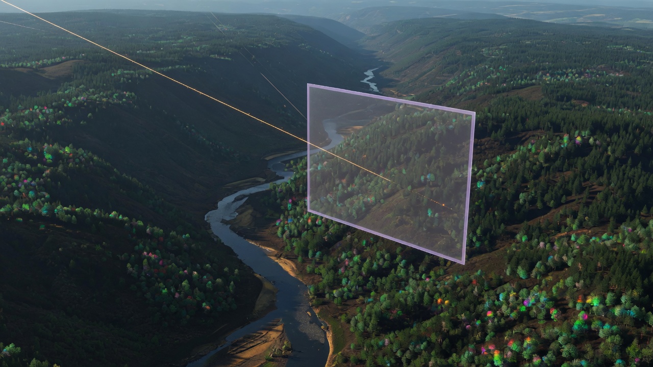
01
Satellite Before Launch
Simulated observations before a payload reaches orbit
- Scene
- Virtual terrain, vegetation, and mixed landscapes with known structure.
- Input
- 3D scene parameters and payload specifications, including bands, resolution, SNR, and viewing geometry.
- Process
- Radiative transfer through the scene, followed by sensor-response modeling that converts radiance into instrument measurements.
- Output
- Multispectral or hyperspectral observations, with structural, process, and geometric ground truth.
- Intended for
- Payload design, pre-launch simulation, and remote-sensing algorithm teams.
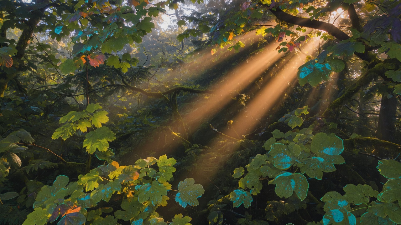
02
Ecosystem Process Simulation
From canopy structure to fluorescence and heat
- Scene
- Multi-layer vegetation canopies with explicit 3D architecture.
- Input
- Vegetation structure, leaf and soil optical properties, meteorological conditions, and sensor configuration.
- Process
- Radiation, energy partitioning, photosynthesis, fluorescence, and thermal response, coupled to the observing sensors.
- Output
- Multi-sensor imagery with process truth such as LAI, APAR, SIF, photosynthesis, canopy temperature, and stress.
- Intended for
- Ecology, agricultural remote sensing, and process-model validation teams.
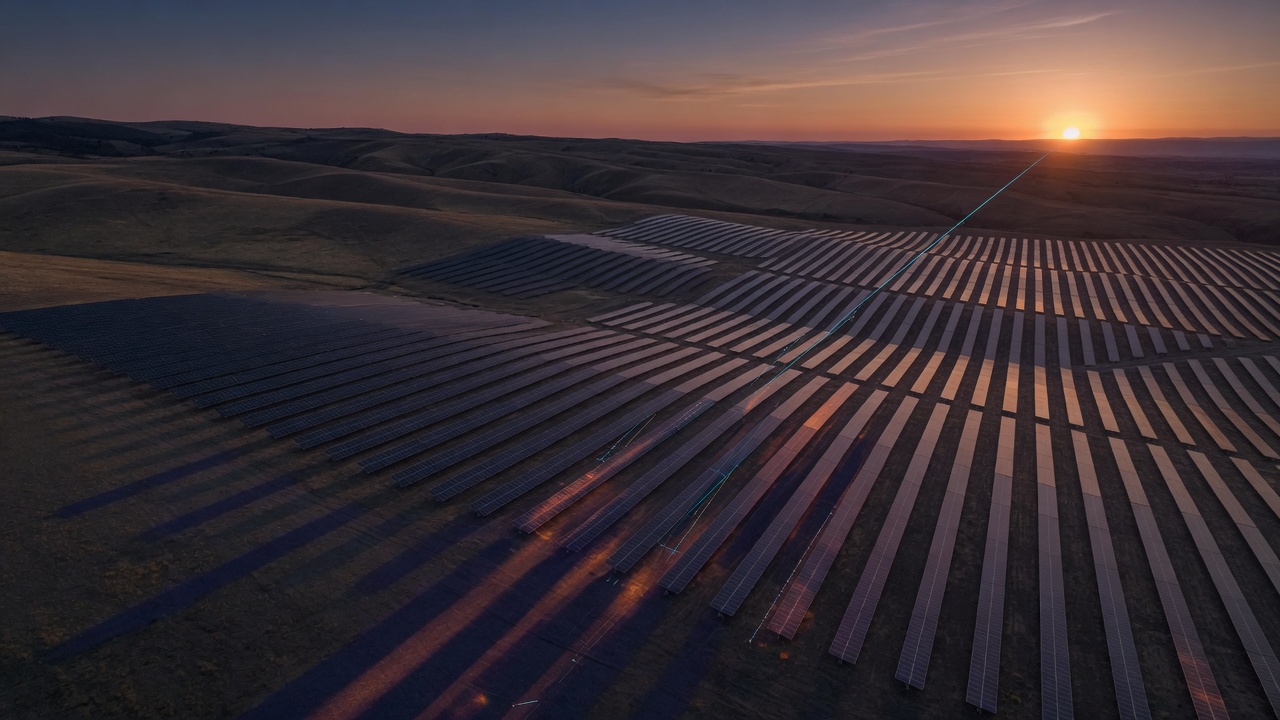
03
Photovoltaic Scene Twin
Terrain, component-level occlusion, irradiance, and generation
- Scene
- Photovoltaic plants sited on real terrain.
- Input
- Array and module layout, terrain, and solar geometry.
- Process
- Combine terrain and module geometry to compute occlusion and irradiance, then estimate generation.
- Output
- Component-level occlusion and irradiance, with generation estimates.
- Intended for
- Plant design, generation assessment, and energy digital-twin teams.